Union Township Comprehensive Plan and Zoning Code Update
- Adoption dates
- Comprehensive Plan: July 2024
- Zoning Code: April 2026
- Location
- Licking County, OH
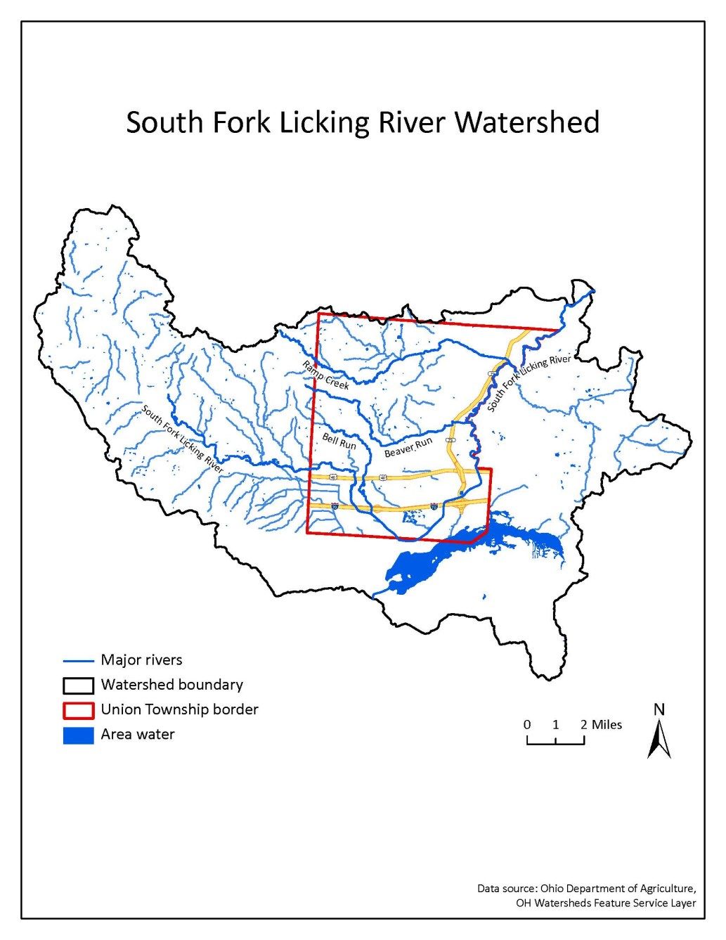
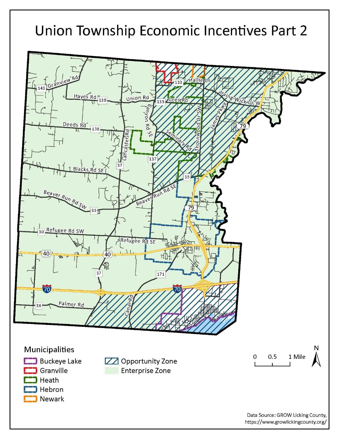
Goal: This project began as an analysis of a few target areas in the Township. Over time it evolved into a full comprehensive plan and then zoning code rewrite as Crossroads worked with the community to help them understand the challenges they face. Union Township worked with Crossroads to address growth pressures and identify areas of potential annexation from nearby municipalities. The community lies along I-70 in a fast-growing corridor east of Columbus. Furthermore, the area near the highway contains significant floodplains, and communities to the west are growing and potentially looking to annex significant amounts of land from the Township.
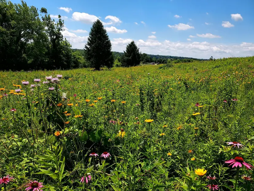
Understanding the Details
The comprehensive plan for Union Township took in plans from several adjacent communities, including the cities of Newark and Heath and the Villages of Hebron, Buckeye Lake, Granville and Kirkersville. Additionally, numerous other governmental and quasi-governmental agencies serve the area, including several school districts, various utility and transportation providers and recreational/parks districts. Crossroads researched all of these various communities’ and agencies’ plans in order to provide the Township with a clear picture of their often cross-cutting goals. One major takeaway from the planning process is that Union Township needs to be strategic where they allow development and where they can preserve existing agricultural and rural land. These locations are often outside of their control, but their response is critical to managing the change in the community.
Continuing the Work
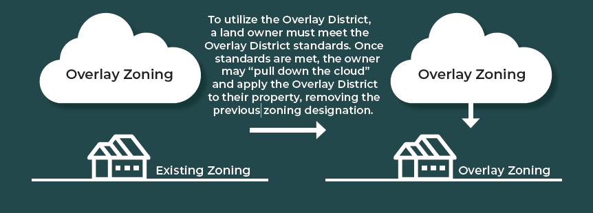
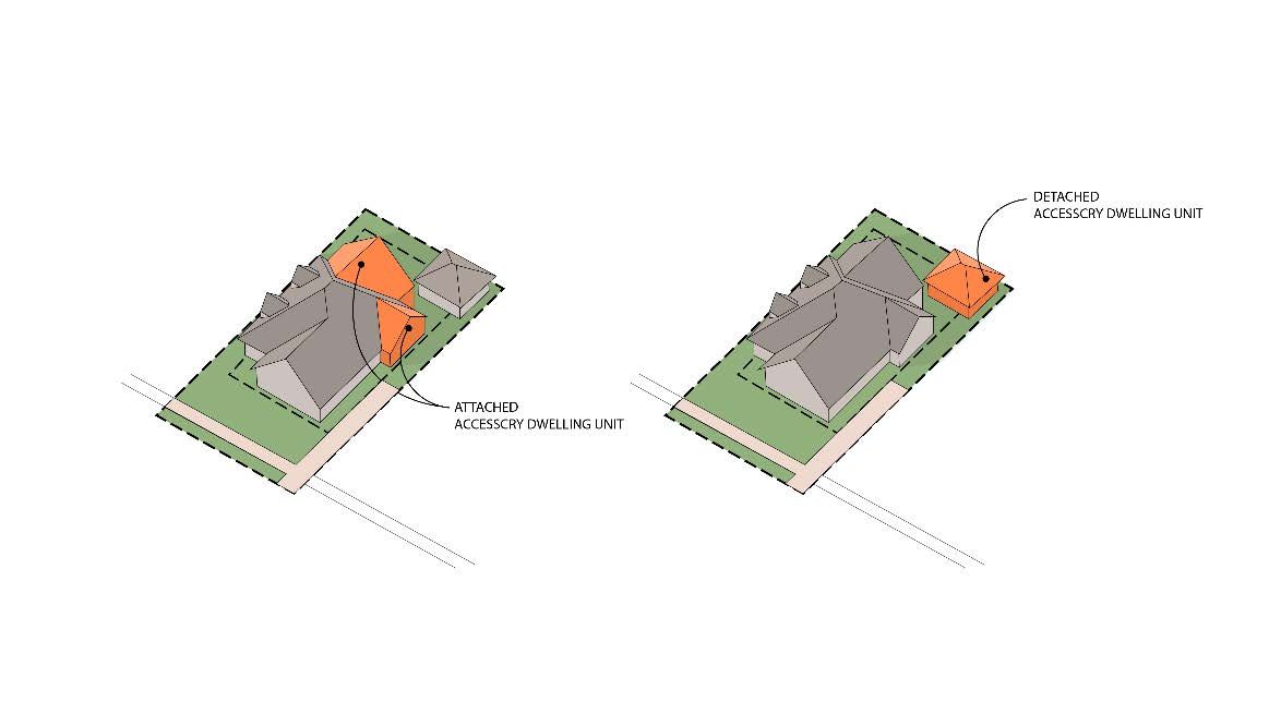
Once the comprehensive plan was completed, the Township continued working with Crossroads to update their zoning code. The code is designed to further the strategies of the comprehensive plan. It provides the Township with the tools to encourage development in the appropriate areas to fend off annexation, but also to preserve land in the areas identified for such in the plan. The code is easy to understand and use for both the community and developers. Ensuring that the development community has a clear understanding of where the development is targeted and the standards for that development is a major win for Union Township.
Development applications were submitted almost immediately after zoning code adoption. With limited staff, Union Township retained Crossroads technical assistance services for plan review. We conduct plan reviews, write staff reports, and attend Zoning Commission and Trustee hearings on proposed development, guiding officials through each step of the process.